
Revolutionizing Soil Organic Carbon Assessment
Together with the National Research and Development Institute for Pedology, Agrochemistry and Environmental Protection, we gathered high-quality soil samples inside the ADER 18.1.1 project and validated our SOC estimation model for agricultural land.
Remarkable results
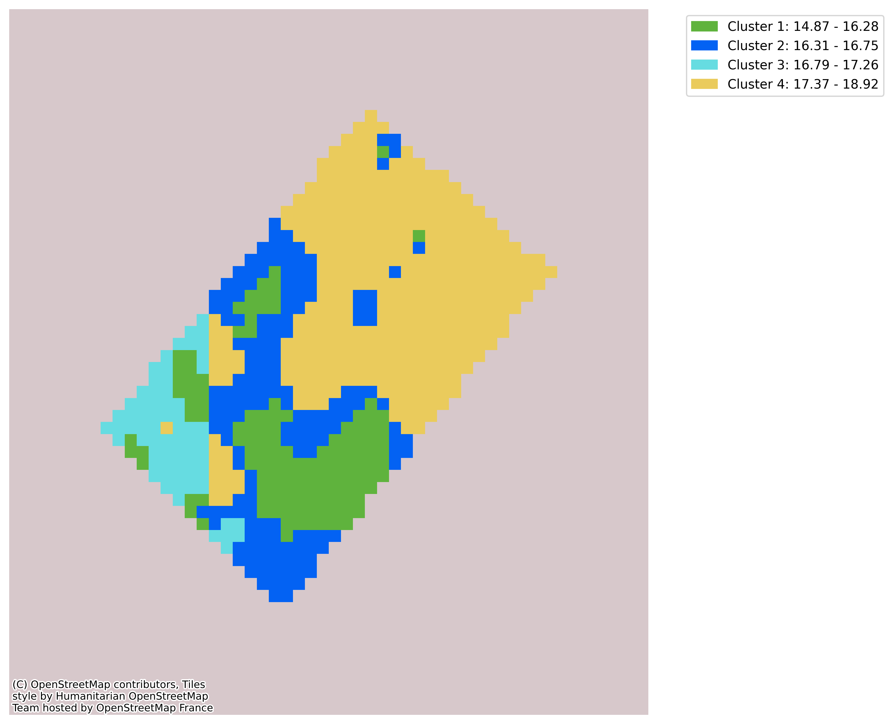
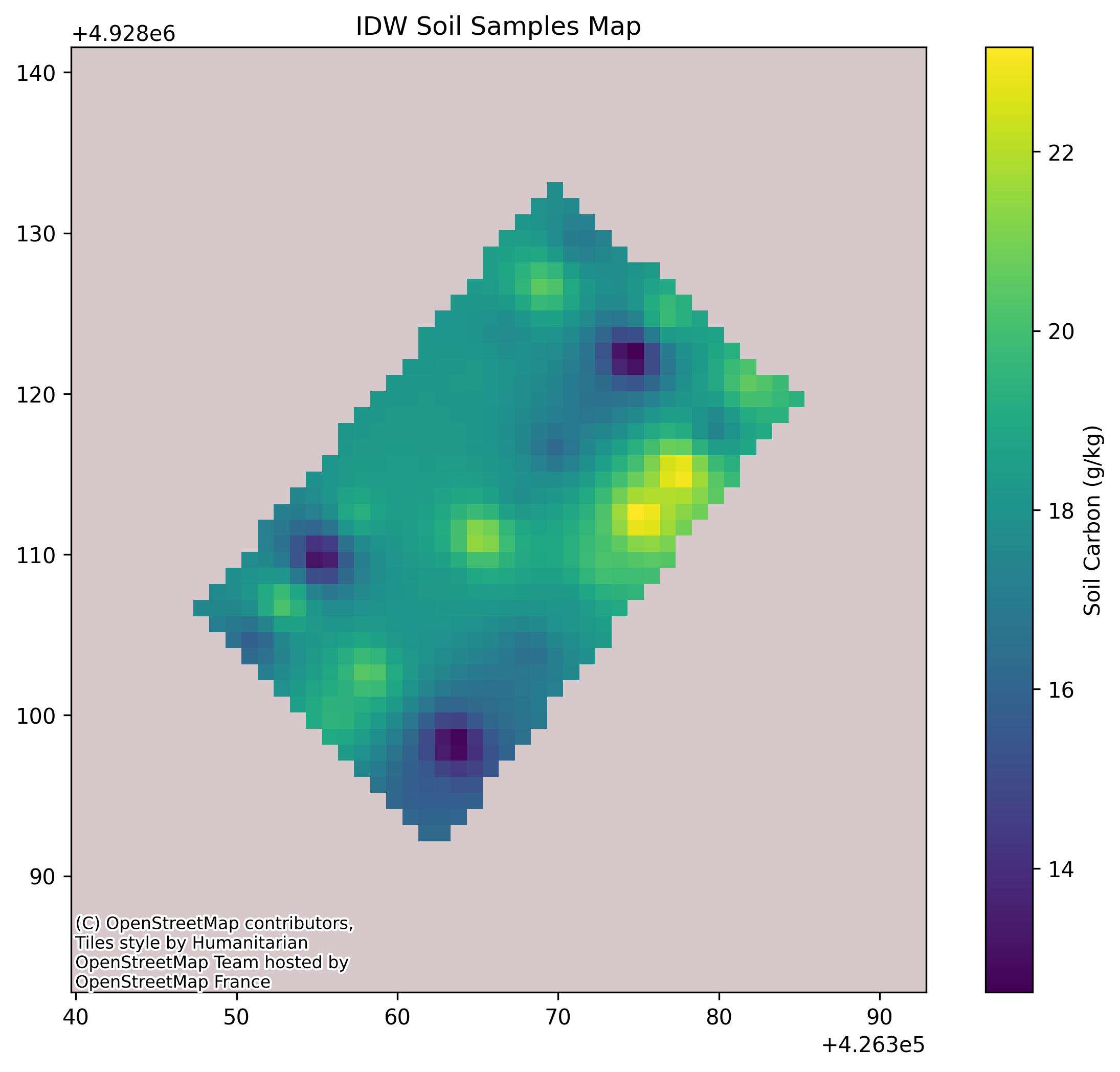
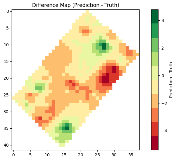
The model started with an average error of 4.77 g/kg. After local calibration, the error dropped to 1.61 g/kg and produced a detailed 1 m SOC map that clearly identified the areas needing intervention.
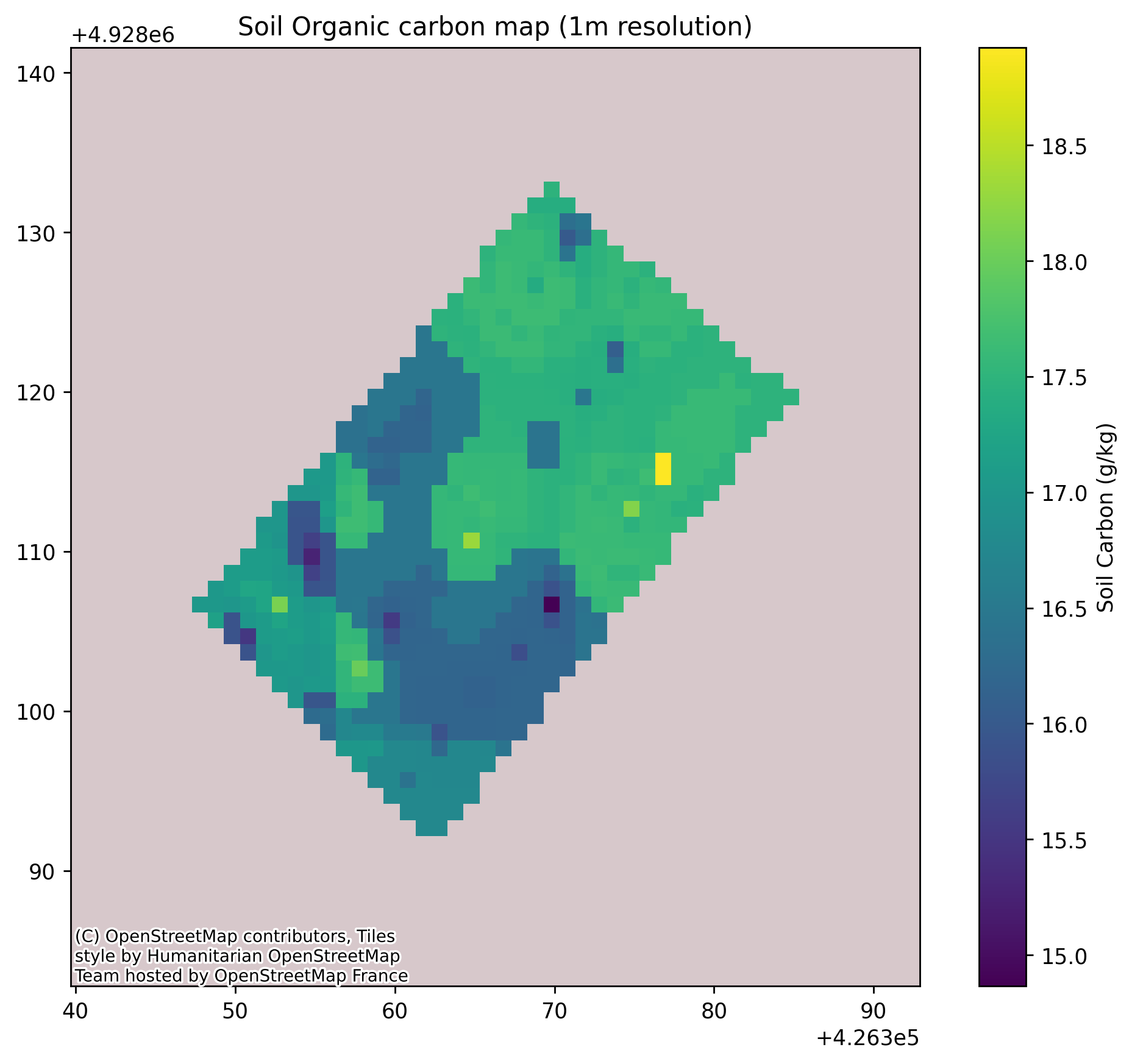
The study
On a 1,487.64 m² experimental plot divided into 30 subplots, we performed local calibration with representative soil samples. Different nitrogen fertilizer levels and a control group helped us test the model under several nutrient conditions and produce much finer-scale maps than traditional interpolation methods.
Why it matters
- Pinpoint interventions: a 1 m map makes treatment zones precise and easier to act on.
- Better productivity: targeted interventions improve the quality of field decisions.
- Long-term sustainability: optimized inputs reduce waste and support healthier soil.
Conclusion
The validated model gives a new perspective on soil-health assessment. By producing highly accurate and fine-detailed organic-carbon maps, even on difficult small plots, it gives farmers clearer guidance for productivity and sustainability.
See it in action
Want more information or a personalized solution?
Contact us